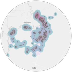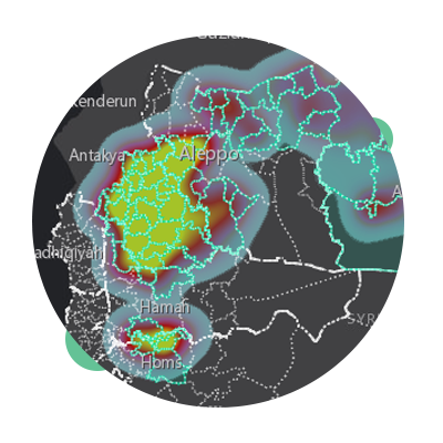
This interactive mapping application is designed by the Information Management Unit (IMU) as an annex to the 4th edition of the Schools in Syria report. While the report shows the information and analysis on area level, the interactive map includes information at the community level.
It is important to do zooming in and out on maps to show all the included layers. You can also show the legend, change the background and print the map from the task bar in the top corner of each map.